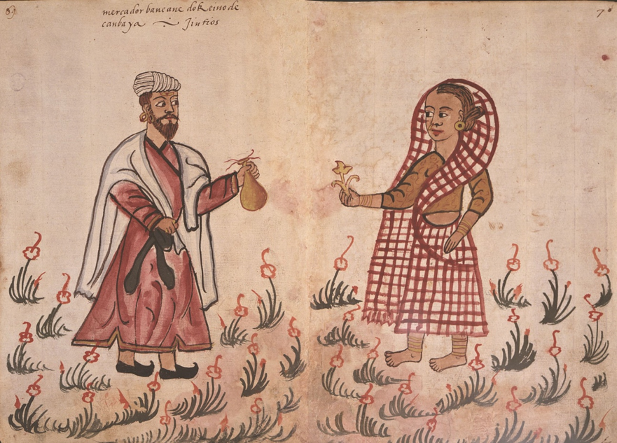
“Mapping India: Cartographic Representations, Stereotypes, and Geopolitical, Cultural, and Religious Imaginaries”
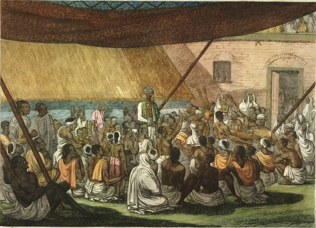
This research cluster focuses on the critical analysis of cartographic representations of India and the Indian subcontinent across different historical periods, geographical regions, and cartographic traditions. Maps are approached not merely as neutral technical artefacts, but as culturally embedded visual texts that reflect systems of knowledge, power relations, and dominant interpretative frameworks through which India has been understood and communicated.
In line with the overarching research agenda of the ESIND project, the cluster directly engages with Research Question Q3: “Which internal variation is present in European descriptions and depictions of India, and which alternative ways of looking at Indian people and society emerged in Europe–India contact zones?” From a cartographic perspective, the cluster seeks to examine how such internal variation manifests itself in maps produced in different European contexts, periods, and institutional settings, and whether alternative or non-dominant spatial imaginaries of India can be identified within cartographic corpora.
A core objective of the cluster is to investigate whether and how cartographic representations contribute to the reproduction of stereotypes, simplifications, or orientalist tropes about India, and to identify cases in which maps articulate more nuanced, plural, or locally grounded views. Particular attention will be paid to visual and textual strategies such as scale, projection, toponymy, thematic selection, symbolism, and omission, and to how these choices shape perceptions of Indian space, society, and diversity.
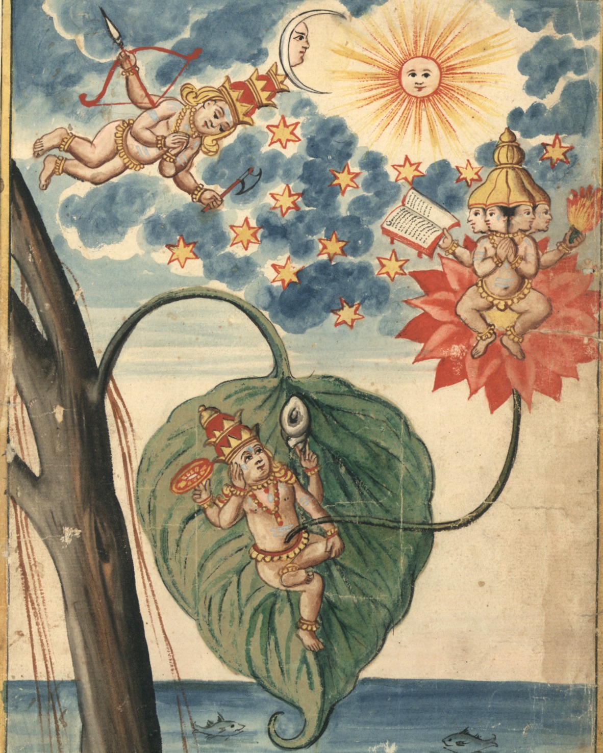
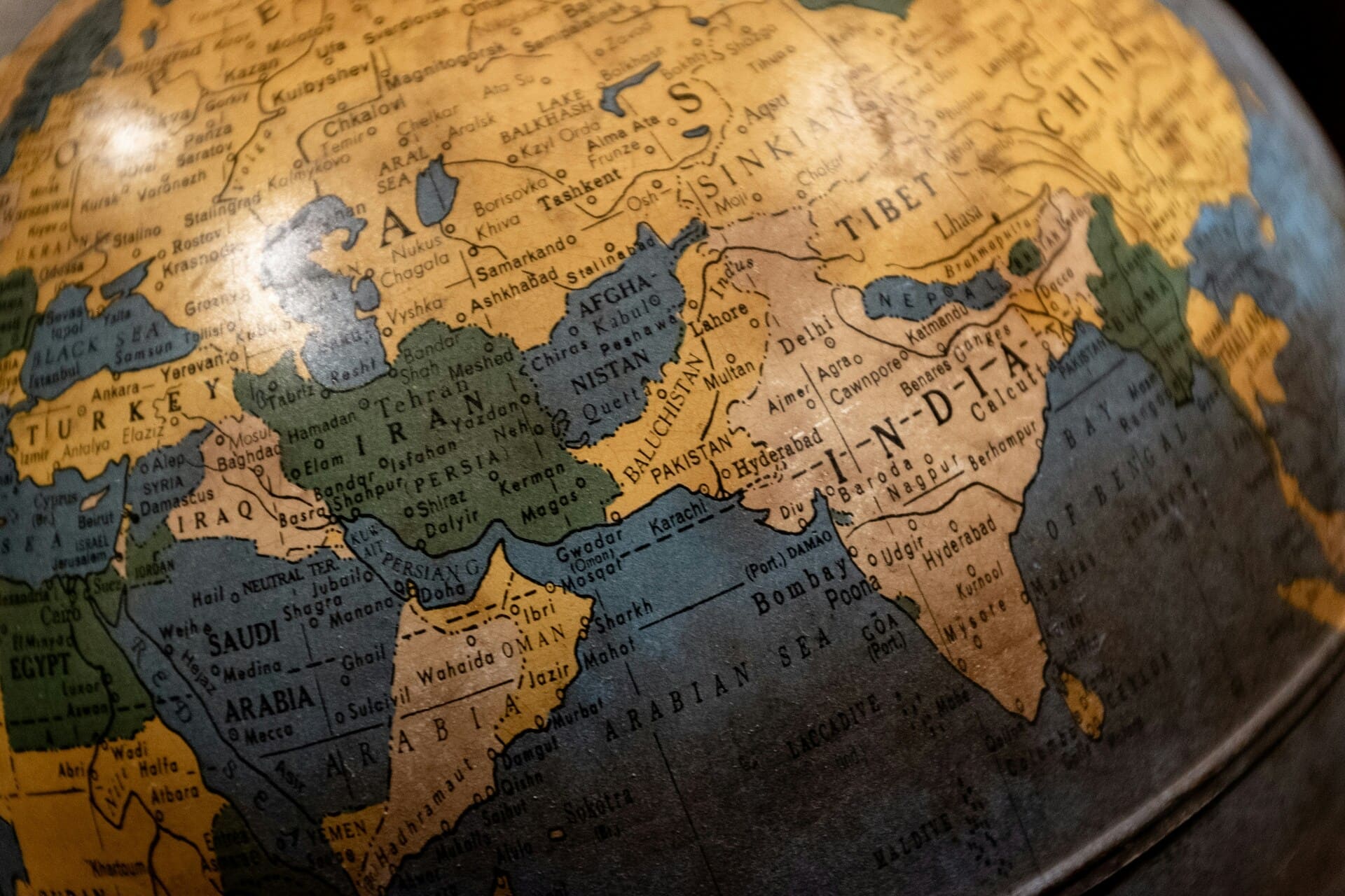
While a significant thematic axis concerns the representation of politically sensitive and contested issues—including disputed territories (e.g. Kashmir), colonial and postcolonial boundary-making, administrative divisions, and shifting geopolitical narratives—the cluster also addresses cultural and religious dimensions of cartographic content. This includes the mapping of sacred landscapes, religious regions, pilgrimage routes, cultural areas, linguistic zones, and civilizational or cultural boundaries, as well as the ways in which religious and cultural diversity is emphasised, simplified, or erased in different cartographic traditions.
Methodologically, the cluster combines approaches from critical cartography, historical geography, visual studies, postcolonial studies, cultural geography, and geopolitics. Source materials may include historical maps, atlases, school and educational maps, wall maps, travel maps, colonial surveys, thematic maps, and contemporary digital cartographic products. Comparative analysis across time periods and regions will enable the identification of continuities, ruptures, and alternative representational patterns in European and global mappings of India.
By foregrounding maps as powerful mediators of knowledge about India, this cluster contributes to the broader ESIND objective of understanding how European representations of India have been internally diverse, contested, and shaped by specific contact zones. It highlights cartography as a key medium through which alternative ways of seeing Indian people, society, culture, and religion have been articulated—or, conversely, marginalised—within European engagements with India.
If you are interested in joining this cluster, please contact Dr. Emil Drápela of the Technical University of Liberec, the lead coordinator via email: emil.drapela@tul.cz